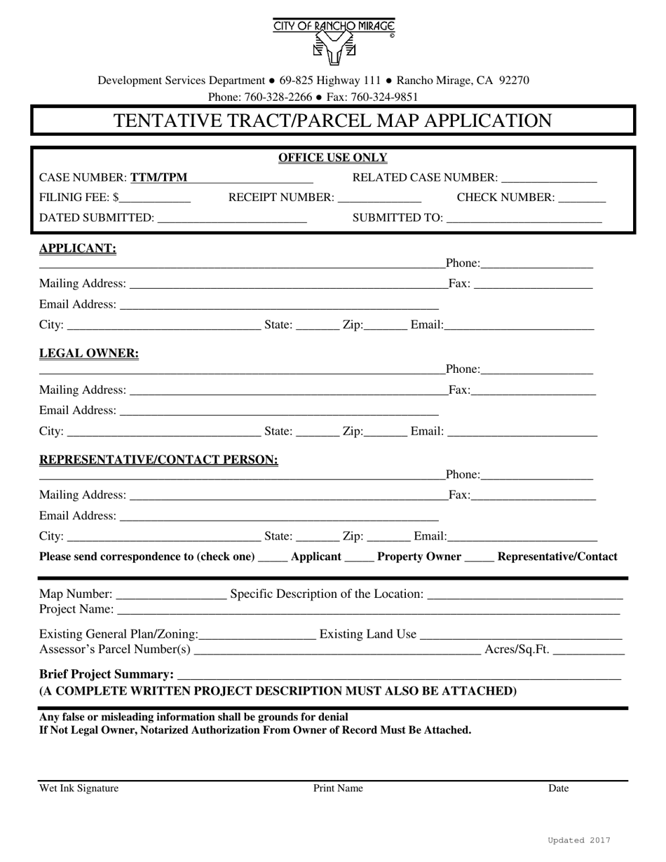
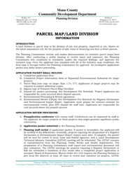
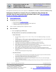
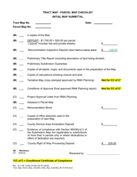
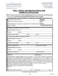
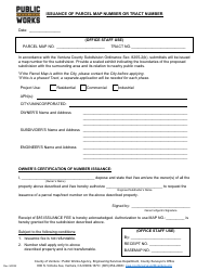
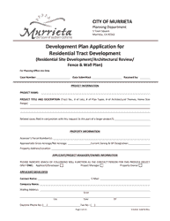
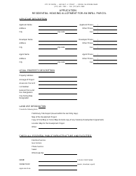
Tentative Tract / Parcel Map Application - City of Rancho Mirage, California

Tentative Tract/Parcel Map Application is a legal document that was released by the Development Services Department - City of Rancho Mirage, California - a government authority operating within California. The form may be used strictly within City of Rancho Mirage.
FAQ
Q: What is a Tentative Tract/Parcel Map Application?
A: A Tentative Tract/Parcel Map Application is a request made to the City of Rancho Mirage, California for the subdivision of land into multiple parcels.
Q: What is the purpose of a Tentative Tract/Parcel Map Application?
A: The purpose of a Tentative Tract/Parcel Map Application is to obtain approval from the City for the proposed subdivision of land.
Q: Who can submit a Tentative Tract/Parcel Map Application?
A: Any property owner, developer, or authorized agent can submit a Tentative Tract/Parcel Map Application.
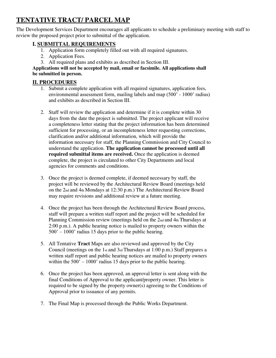
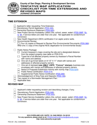
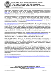
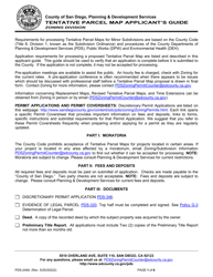
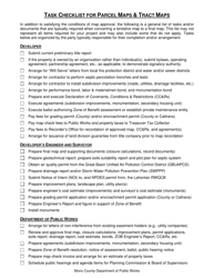
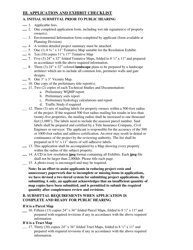
Q: What does the Tentative Tract/Parcel Map Application process involve?
A: The process involves submitting the application form, preparing required documents, paying fees, and undergoing review and approval by the City's Planning Department.
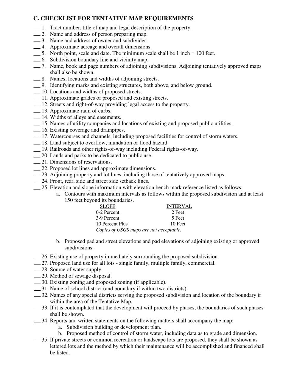
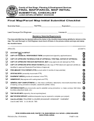
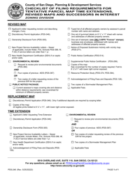
Q: What documents are required for a Tentative Tract/Parcel Map Application?
A: The required documents may include a legal description of the property, a site plan, a tentative map, environmental review documents, and other supporting materials.
Q: What fees are associated with a Tentative Tract/Parcel Map Application?
A: The fees for a Tentative Tract/Parcel Map Application vary depending on the number of proposed parcels and the size of the project.
Q: How long does it take to process a Tentative Tract/Parcel Map Application?
A: The processing time can vary, but it typically takes several months for the City to review and make a decision on a Tentative Tract/Parcel Map Application.
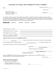
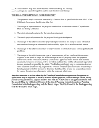
Q: What happens after a Tentative Tract/Parcel Map Application is approved?
A: After approval, the applicant can proceed with the final engineering of the subdivision and may need to obtain additional permits and approvals before the final map is recorded.
Q: What happens if a Tentative Tract/Parcel Map Application is denied?
A: If the application is denied, the applicant has the option to appeal the decision or make revisions to address the reasons for denial.
Form Details:
- Released on January 1, 2017;
- The latest edition currently provided by the Development Services Department - City of Rancho Mirage, California;
- Ready to use and print;
- Easy to customize;
- Compatible with most PDF-viewing applications;
- Fill out the form in our online filing application.
Download a printable version of the form by clicking the link below or browse more documents and templates provided by the Development Services Department - City of Rancho Mirage, California.
Download Tentative Tract / Parcel Map Application - City of Rancho Mirage, California

1

2
3

4
5