Free World Map Templates
World Map Template: What Is It?
A World Map refers to a diagram that serves as a representation of the world, its seas, and land.
Alternate Name:
- Map of the World Template.
This visual tool shows the surface of the earth and helps to locate countries, oceans, and large islands - whether you are studying geography, learning the relationships between regions, or trying to figure out how to navigate between different parts of the world, this instrument is indispensable to identify locations properly and put geographical data into context.
For a full list of World Map templates please check out our library below.
How to Make a World Map?
Here are some tips you may implement when creating a World Map:
-
If you have a blank Map of the World that simply shows the outlines of continents without any details, you may fill it out with the names of regions, biggest countries, oceans, mountains, and deserts . Use highlighters to differentiate between different parts of the world and show how the terrain and weather change. You can create a time zone map with vertical lines representing different longitudes. Work on an interactive map with the help of editing software - this way, you can easily remove the names of countries, capitals of states, and other information to check your memory.
-
Focus your attention on a particular component to learn or teach more about it . For instance, a blank World Map can only list the names of continents and you can customize the design with small illustrations of animals that live there as well as plants and flowers that occupy a certain region. It is a good idea to explore political geography via administrative divisions that exist in a particular state - for example, a USA Map Template can be put on the wall to show the individual learning more about the country and its fifty states the state lines.
-
Make sure the World Map template is accompanied by a comprehensive legend - a description of all the elements and symbols you have added to the map while making it. The legend is essential when it comes to map reading - there may be dots, lines, shapes, and abbreviations that require clarification, and a person who does not specialize in geography will not recognize them. Since the World Map is large, you can also add semi-transparent or dotted lines creating a grid and indicate the number of the section in one of the corners later referring to it in the legend.
-
If you are developing a map for any fictional project you are working on, you may base the geographical structure of the world on the real World Map renaming the countries, moving the boundaries, or changing the climate in various parts of the world - alternatively, you can start from scratch drawing the continents and choosing the way the water and land appear in your fantasy world. A World Map is perfect when the characters are travelling across the world and deal with previously unknown geographic realities so consider making a map a part of your story.
Still looking for a particular template? Take a look at the related templates below:
Documents:
7
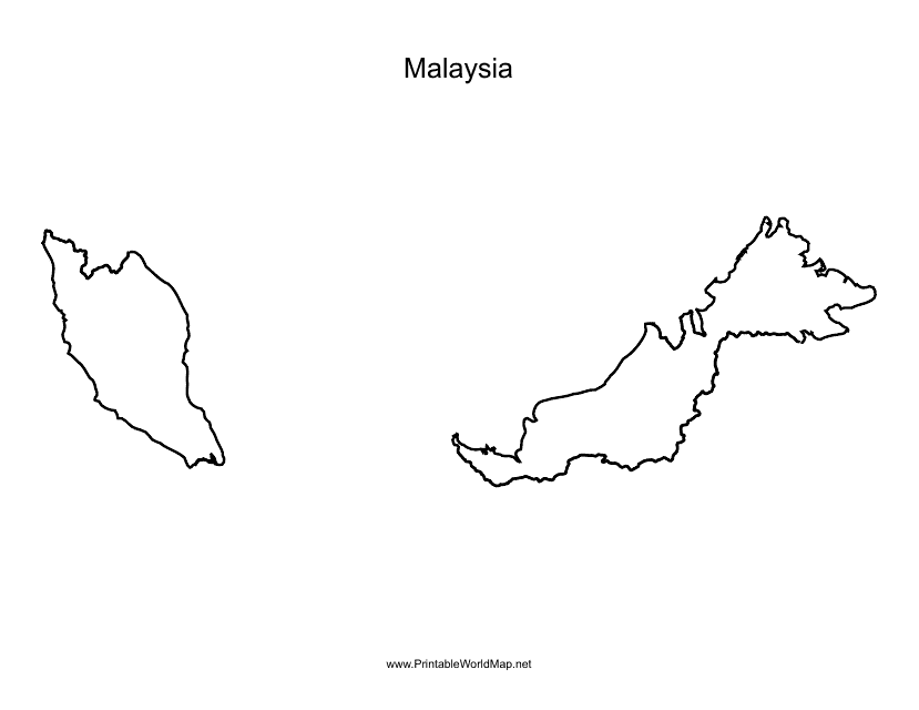
This document is a Malaysia map template that can be used for various purposes like educational projects, presentations, or designing custom maps.
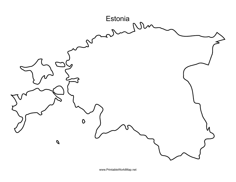
This document is a template of a map of Estonia, which can be used for various purposes such as educational, informational, or creative projects. The template provides a visual representation of the geographic features and boundaries of Estonia.
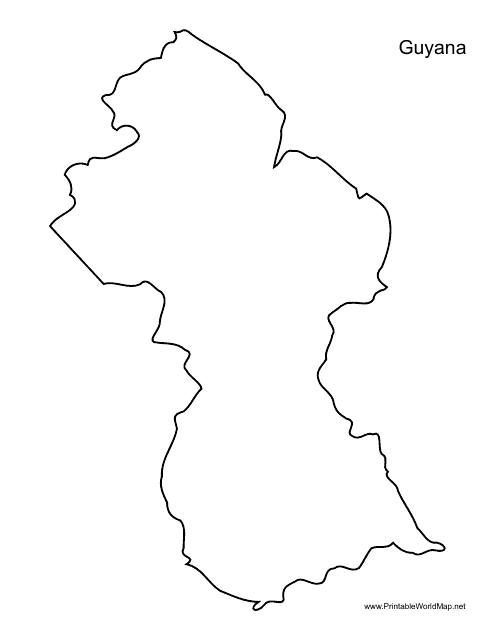
This document provides a template of the map of Guyana. Use it for educational purposes or to create custom maps related to Guyana.
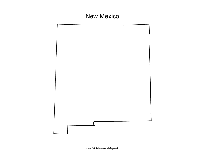
This form is used for creating a map of New Mexico. Easily customize the map with markers, labels, and other elements to suit your needs. Perfect for educational projects or planning your next trip to the Land of Enchantment.
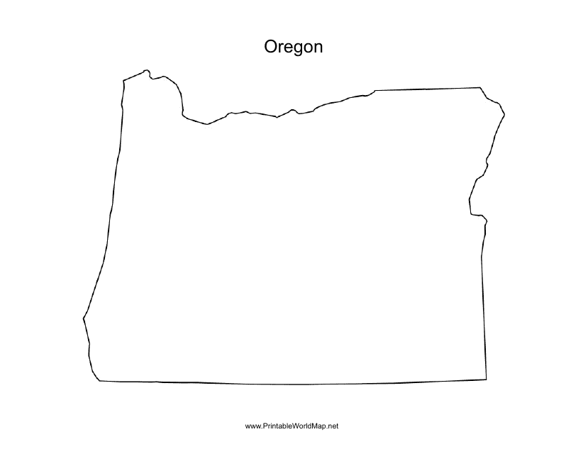
This document is a template for creating maps of Oregon. It can be used for various purposes such as educational projects, tourism guides, or urban planning.

This type of document is a template that displays a world map with longitude and latitude lines. It can be used for educational purposes or for navigation.
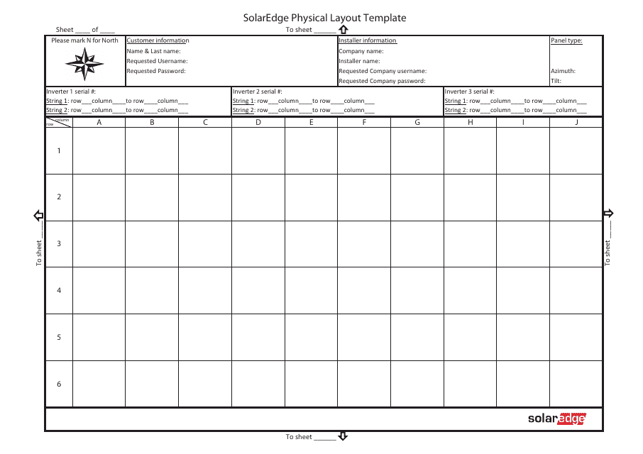
This document is a template for the physical layout of a Solaredge system. It provides a visual representation of how the system components should be arranged.
