Land Measurement Templates
Are you in need of accurate and reliable information regarding land measurement? Look no further! Our comprehensive collection of documents related to land measurement is the ultimate resource for gathering knowledge on this subject. Whether you refer to it as land measurement or land measurements, our extensive database covers a wide range of topics and regions.
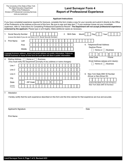
Our collection includes various forms and reports that are essential for professionals in the field of land surveying. For instance, you can find documents such as the Form PL3-O Schedule 1 Land (Including Rights of Way) and Improvements from Virginia, the Land Surveyor Form 4 Report of Professional Experience from New York, and the Form 21B Plan of Survey from Queensland, Australia. These are just a few examples of the valuable resources available to you.
If you're interested in acreage designation, we offer documents like the Attachment 1A Acreage Designation form from Texas. Additionally, if you're in West Virginia and are looking for information on low gradient surveys, our collection includes resources like the Level II Low Gradient Survey.
With our extensive collection of documents, you'll be equipped with the knowledge you need to understand and navigate the world of land measurement. Start exploring our database now to gain valuable insights and make informed decisions. Don't miss out on this opportunity to access the most comprehensive collection of land measurement documents available. No matter what you call it - land measurement or land measurements - we've got you covered!
Documents:
6
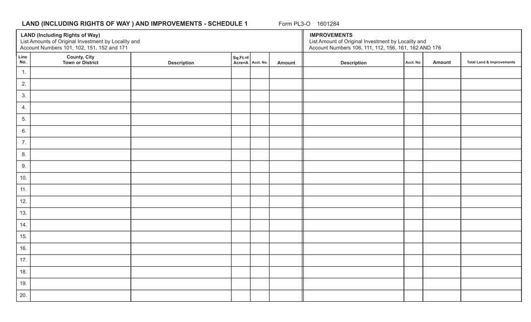
This form is used for reporting land, including rights of way, and improvements in the state of Virginia. It provides a detailed schedule for documenting these properties.
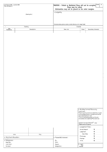
This form is used for creating a plan of survey in the state of Queensland, Australia. It is required to accurately record and document detailed information about a piece of land, including its boundaries, measurements, and other relevant features.
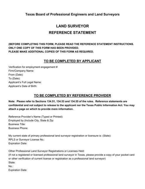
This document is used as a reference statement for land surveyors in Texas. It provides important information and guidelines for conducting land surveys in the state.
This document designates the acreage of a property in the state of Texas.
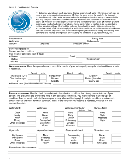
This type of document is used for conducting a Level II Low Gradient Survey in West Virginia. It is a survey that provides information about the land's characteristics and topography in a specific area.
