Property Boundaries Templates
Are you looking for information on property boundaries? Look no further! Our comprehensive collection of documents provides all the essential information you need for understanding and establishing property boundaries. Whether you are a homeowner, a real estate professional, or involved in any property-related legal matters, our extensive collection of documents will guide you through the process.
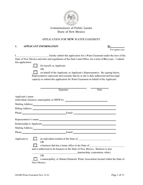
Our collection includes a wide range of resources, such as Plat Approval Certificates and Legends, Task Checklists for Parcel Maps and Tract Maps, Fence Permits, Corner Record Forms, and Affidavits for Insertion of Initials on Property Duplicate and Tax Lists. These documents cover various jurisdictions, including Alaska, California, Michigan, and Ohio.
Establishing property boundaries can be a complex and essential aspect of property ownership. Our documents provide the necessary guidelines, regulations, and instructions to ensure accurate identification and demarcation of property lines. We understand that every region and county may have specific rules and requirements, which is why our documents cater to various locations and jurisdictions.
With our extensive collection of property boundary documents, you can confidently navigate the process of property ownership, buying or selling real estate, and resolving any boundary-related disputes. Our user-friendly documents make it easy to access the information you need, saving you time and effort.
Take advantage of our collection of property boundary documents today and ensure that you have all the resources you need to assess, establish, and protect your property boundaries.
Documents:
43
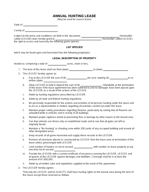
This document is a template for an annual hunting lease agreement. It serves as a legally binding contract between a landowner and a hunter, outlining the terms and conditions for hunting on the property for a one-year period. The template covers important details such as access to the land, hunting rules and regulations, liability and insurance requirements, and payment terms. It provides a clear framework for both parties to ensure a fair and mutually beneficial hunting arrangement.
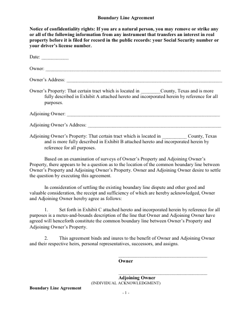
This document is a template for creating a boundary line agreement between property owners. It establishes the agreed-upon boundaries between adjacent properties and can help prevent disputes in the future.
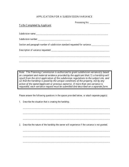
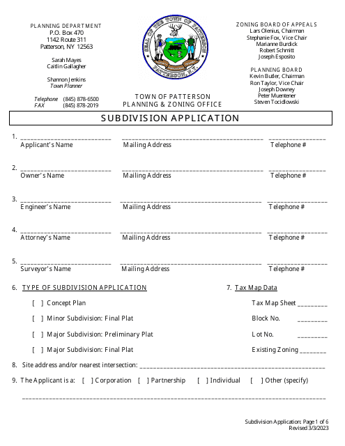
This document is used to apply for a subdivision variance, which allows for exceptions or changes to be made to the regulations and requirements for dividing a piece of land into multiple lots.
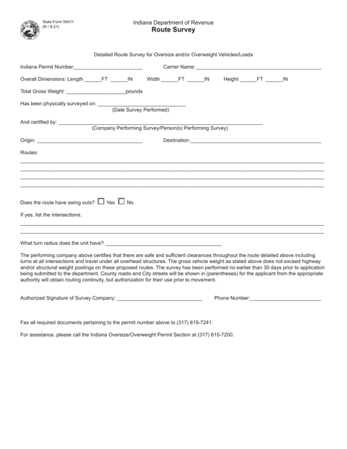
This document is used for approving plats and includes a legend specific to the state of Alaska.
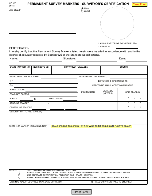
This Form is used for the surveyor's certification of permanent survey markers in the state of New York.
This document is used for recording the statement of a property owner who owns property adjacent to a riparian area in North Carolina. It helps document their rights and responsibilities related to the riparian area.
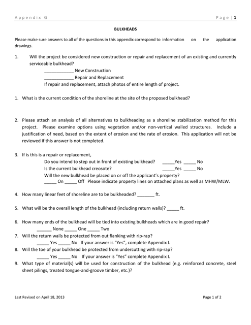
This type of document provides information about bulkheads in Delaware's Appendix G.
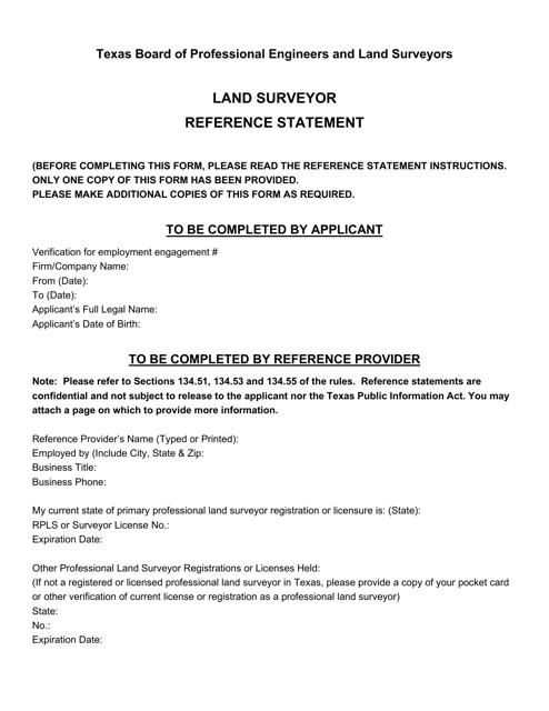
This document is used as a reference statement for land surveyors in Texas. It provides important information and guidelines for conducting land surveys in the state.
This document is used to establish the borders and recognize ownership of land in the state of Louisiana. It ensures that the boundaries between properties are clearly defined and legally acknowledged.
This form is used for reporting initial notice of contamination that extends beyond property boundaries in Florida.
This document is used to apply for certification as a property mapper in the state of North Carolina. It is the initial application for individuals interested in becoming certified in this field.
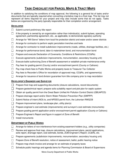
This document is a task checklist specifically for Parcel Maps and Tract Maps in Mono County, California. It provides a detailed list of tasks and steps to be followed in the process of creating and maintaining these types of maps in the county.
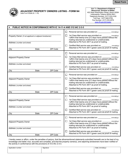
This form is used for creating a listing of adjacent property owners in the state of Indiana.
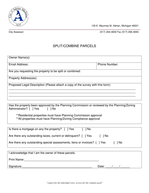
This document is for residents in the City of Adrian, Michigan who want to split or combine parcels of land. It provides information on the process and requirements for doing so.
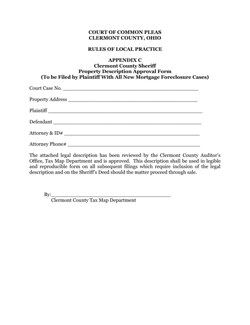
This document is used for obtaining approval for property descriptions in Clermont County, Ohio.
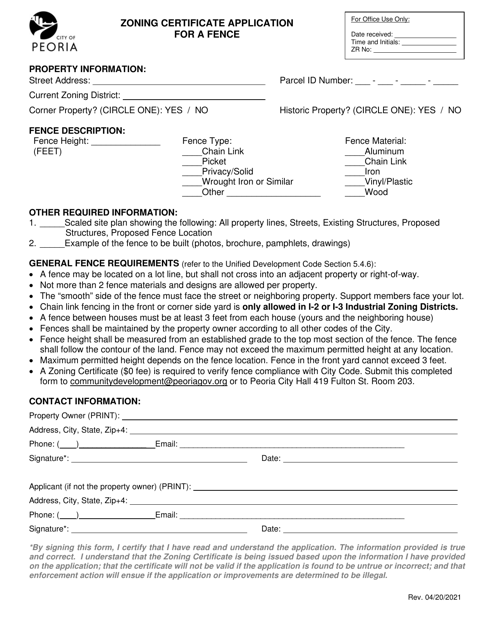
This Form is used for obtaining a zoning certificate for installing a fence in the City of Peoria, Illinois.
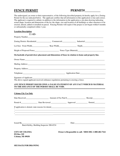
This document is for obtaining a permit from the City of Coloma, Michigan to install a fence on your property.
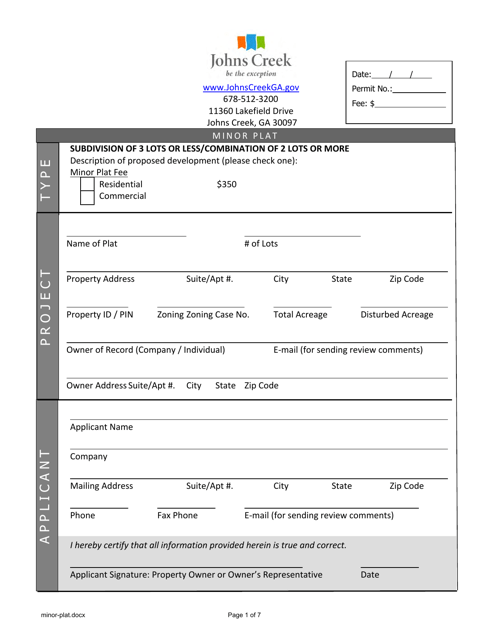
This form is used for applying for a minor plat in the City of Johns Creek, Georgia. It is a document required for property development in the city.
This document is for applying for land development and subdivision in the City of Bethlehem, Pennsylvania. It outlines the process and requirements for developing and dividing land in the city.
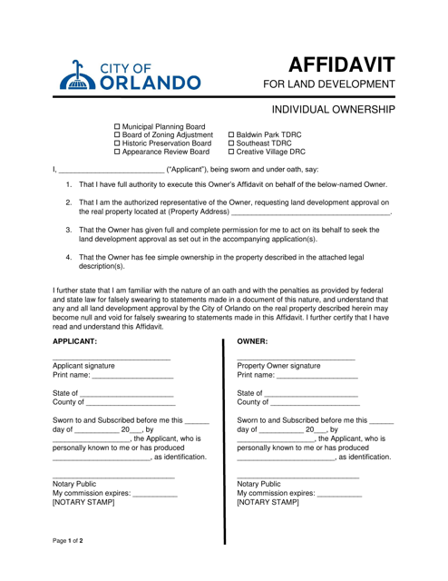
This document is used for individuals in Orlando, Florida who own land and need to provide a sworn statement related to land development.
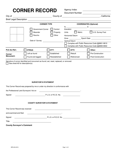
This Form is used for documenting the location and details of property corners in California. It is required for property surveys and can help settle disputes over property boundaries.
This document is used to request verification of platting within the extraterritorial jurisdiction of the City of Fort Worth, Texas.
This Form is used to obtain a certificate for cadastral plans and corresponding cadastral information files in Queensland, Australia. It helps in accessing specific information related to land boundaries and ownership.
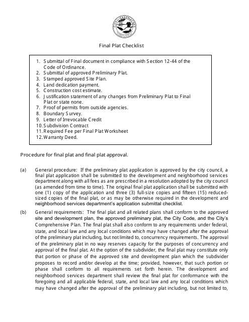
This document is a checklist used by the City of Greenacres in Florida for the final plat approval process. It aids in ensuring that all necessary requirements have been met before finalizing the subdivision of land for development.
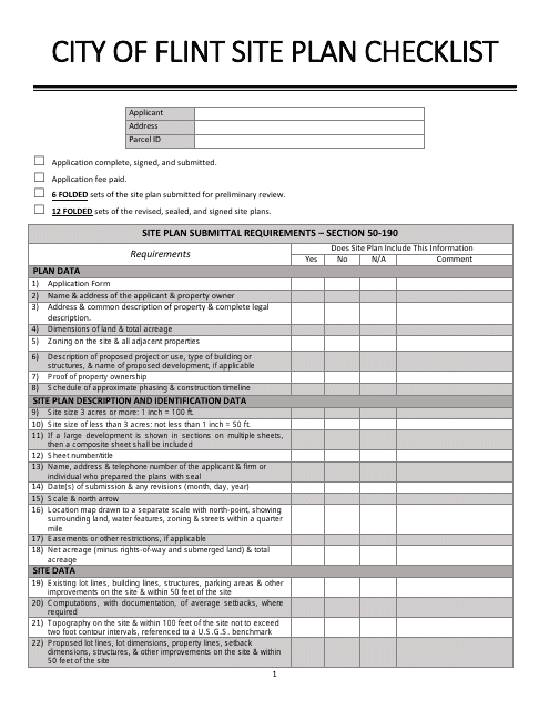
This document is a checklist used by the City of Flint, Michigan to review and assess site plans for new developments or construction projects. It includes a list of requirements and criteria that must be met in order for the site plan to be approved.
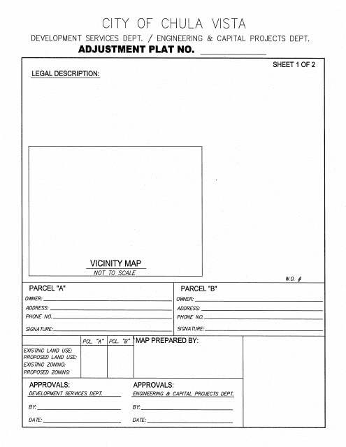
This document is an Adjustment Plat for the City of Chula Vista, California. It is used to outline changes or adjustments made to property boundaries and other land details within the city.
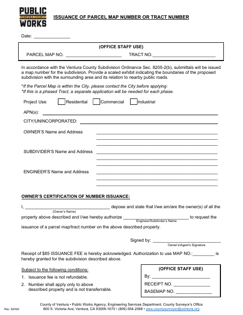
This document is used for obtaining a parcel map number or tract number from the County of Ventura, California.
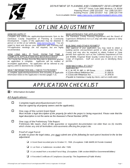
This form is used for applying for a lot line adjustment in Stanislaus County, California. It does not pertain to properties under the Williamson Act.
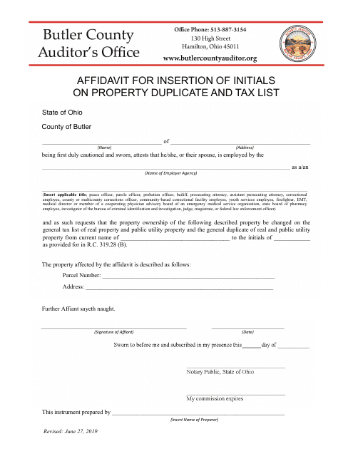
This document is used for requesting the insertion of initials on a property duplicate and tax list in Butler County, Ohio.
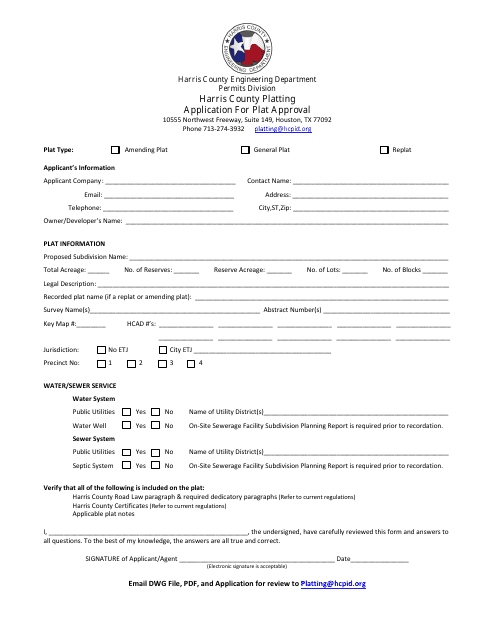
This form is used for applying for plat approval in Harris County, Texas.
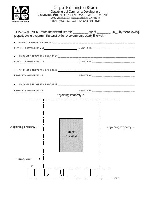
This type of document is a Common Property Line Wall Agreement specific to the City of Huntington Beach, California. It outlines the agreement between neighbors regarding the construction and maintenance of a shared wall that sits on the property line.