Land Use Planning Templates
Welcome to our webpage on land use planning, also known as urban planning or spatial planning. This collection of documents is crucial for managing and regulating the use of land in various jurisdictions.
Land use planning is an essential process that helps define how land is developed, ensuring that it is utilized in a sustainable and efficient manner. It considers factors such as environmental protection, social needs, economic development, and infrastructure requirements to create a comprehensive plan for an area's growth.
In this collection, you will find a variety of documents from different regions, such as the Form CP-23 Wetland Restoration Design Worksheet from Michigan and the Application for Roadside Development from Saskatchewan, Canada. These documents showcase the diverse range of tools and forms used to manage land development and zoning requirements.
Whether you are a property owner, developer, or government agency, our land use planning documents provide valuable information and guidelines to streamline your development process. From rezoning applications like the Application for Rezoning in the City of Adrian, Michigan, to pre-application forms for rezoning and use permits such as the one used in the City of Johns Creek, Georgia, our collection covers various land administration procedures.
Additionally, we offer resources like the Administrative Variance Checklist from the City of Greenacres, Florida, to help you navigate the intricacies of land use regulations, ensuring that your projects comply with the relevant guidelines.
Explore our vast collection of land use planning documents to gain insights and guidance for your development projects. Our goal is to empower individuals and organizations with the necessary information to responsibly shape our urban and rural environments.
Documents:
48
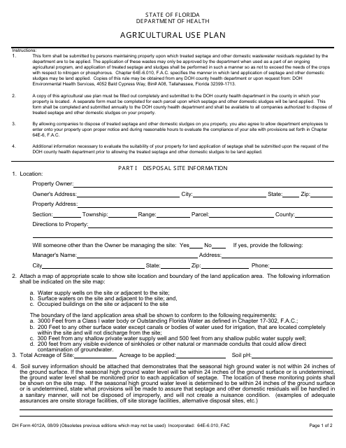
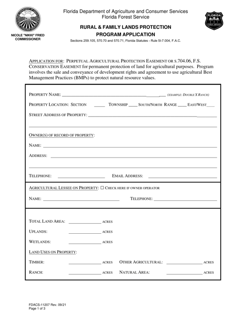
This form is used for creating an agricultural use plan in the state of Florida. It helps farmers and landowners to document their plans for using their land for agricultural purposes.
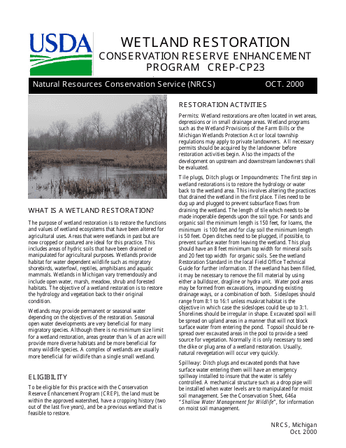
This type of document, CP-23 Wetland Restoration Design Worksheet, is used in Michigan for planning and designing wetland restoration projects. It helps in assessing the current condition of wetlands and developing effective restoration strategies.
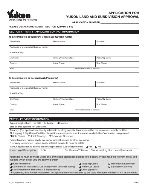
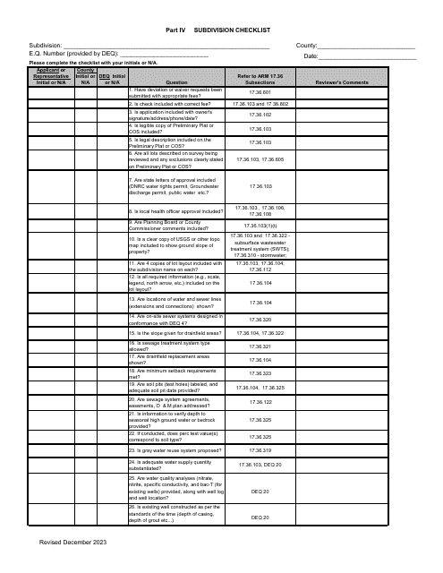
This form is used for applying for land and subdivision approval in Yukon, Canada.
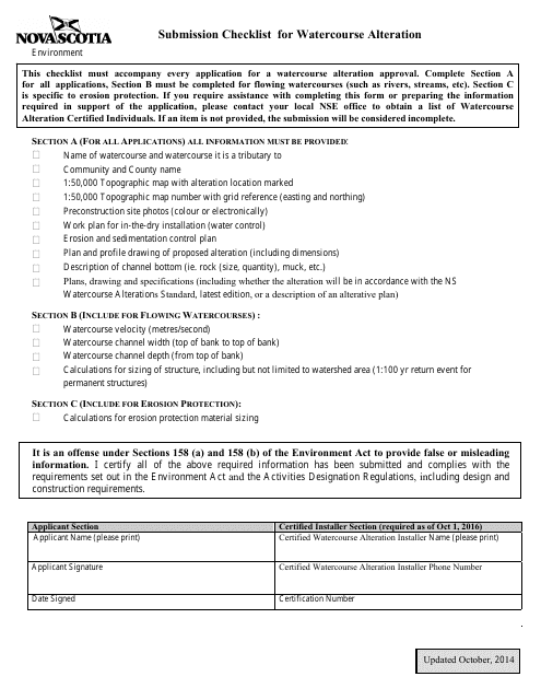
This document provides a checklist for individuals in Nova Scotia, Canada who are planning to alter a watercourse. It outlines the necessary steps and requirements to ensure compliance with regulations.
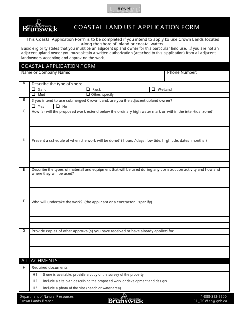
This Form is used for applying for land use along the coastal areas in New Brunswick, Canada.
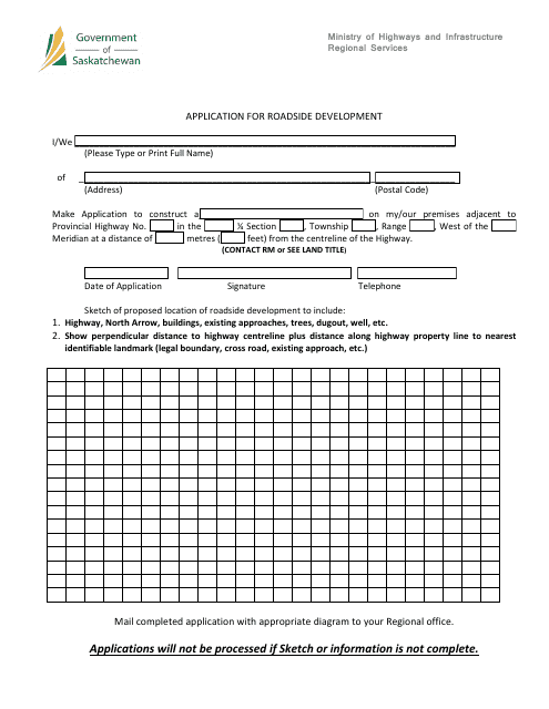
This document is for applying for roadside development in Saskatchewan, Canada. It outlines the process and requirements for developing structures or making changes along roadways in the province.
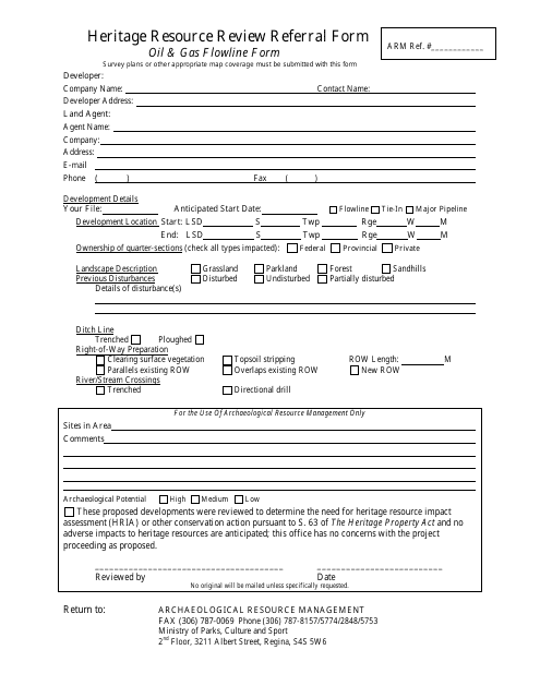
This document is used for submitting a referral form for reviewing heritage resources in Saskatchewan, Canada related to oil and gas flowline activities.
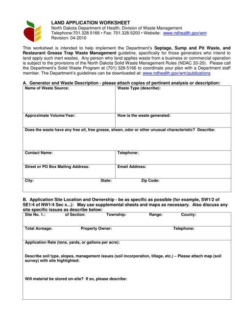
This document is used for tracking and planning the application of fertilizer or manure on agricultural land in North Dakota.
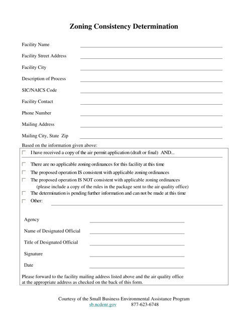
This type of document is used to determine the consistency of zoning regulations in North Carolina. It ensures that the zoning ordinances and regulations meet the required standards.
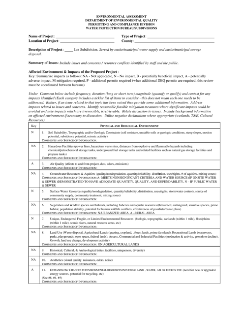
This document is used for conducting an environmental assessment in the state of Montana. It evaluates the potential environmental impacts of a proposed project or development and suggests mitigation measures to minimize harm to the environment.
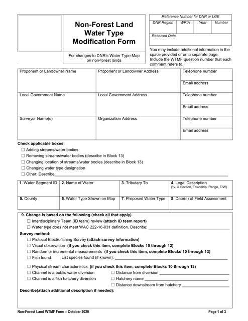
This document is used for requesting modification of water type on non-forest land in Washington state.
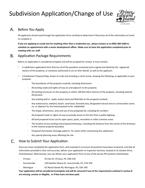
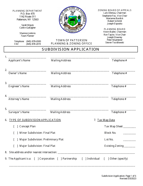
This form is used for applying for subdivision of land or changing the use of an existing property in Prince Edward Island, Canada.
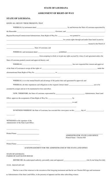
This document is used for the assignment of the right-of-way in the state of Louisiana. It is a legal agreement that transfers the rights to use a designated area for a specific purpose, such as constructing or accessing a road or pipeline.
This Form is used for creating a Lake Management Plan in Michigan.
This Form is used for obtaining a Land Use Compatibility Statement (LUCS) in the state of Oregon. A LUCS is a document that assesses the compatibility of a proposed land use with the surrounding area and existing land use regulations.
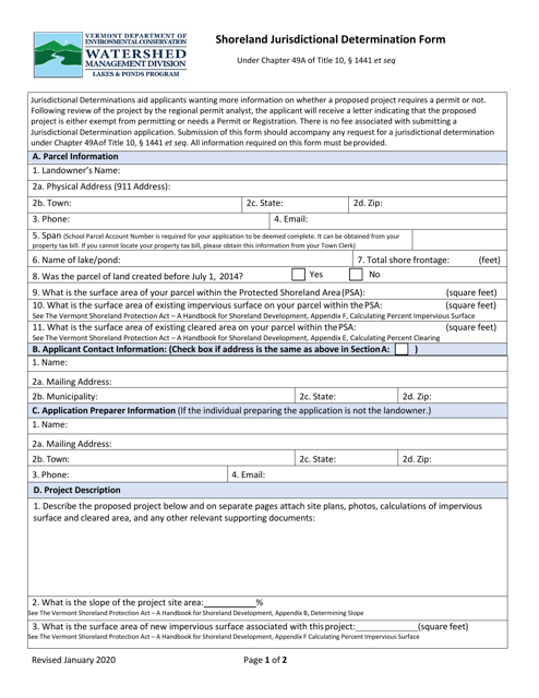
This Form is used for determining jurisdictional boundaries for shoreland areas in Vermont. It helps identify if a property falls under the regulatory authority of Vermont's Shoreland Protection Act.
This document is an application form for requesting permission to subdivide land in the City of Dallas, Texas.
This document is for obtaining a Floodplain Development Permit in Grimes County, Texas.
This document is a template that is used to grant an easement, which is the legal right to use someone else's property for a specific purpose.
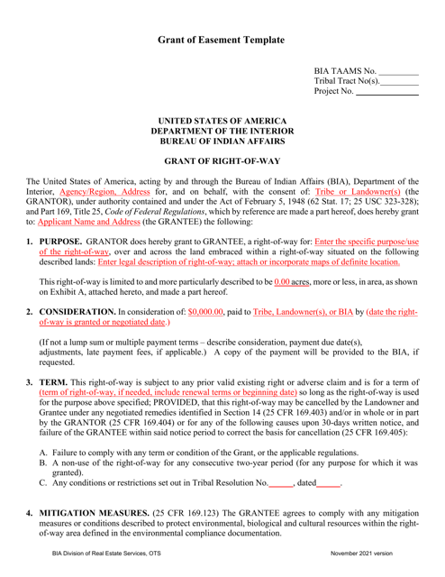
This document is an application for rezoning in the City of Adrian, Michigan. It is used to request a change in the zoning designation of a property.
This document is an application for preliminary plan approval in Warren County, Ohio. It is used to request permission for the initial planning stages of a project or development.
This document is used for requesting a change in zoning regulations in Okaloosa County, Florida.
This form is used for submitting a pre-application for rezoning, use permits, and concurrent variances in the City of Johns Creek, Georgia. It allows individuals or businesses to initiate the process of requesting changes to zoning regulations and regulations related to land use.
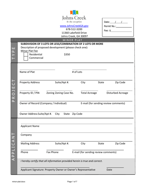
This form is used for applying for a minor plat in the City of Johns Creek, Georgia. It is a document required for property development in the city.
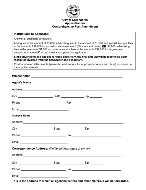
This type of document is used to apply for a Comprehensive Plan Amendment in the City of Greenacres, Florida.
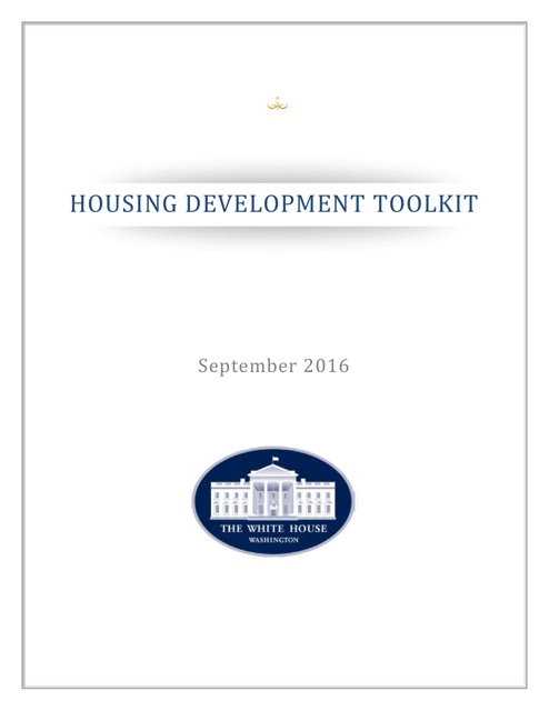
This document provides a toolkit for housing development projects, offering strategies and resources to address affordable housing challenges.
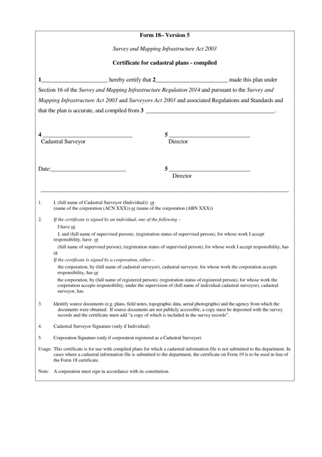
This form is used for obtaining a Certificate for Cadastral Plans that have been compiled in the state of Queensland, Australia.
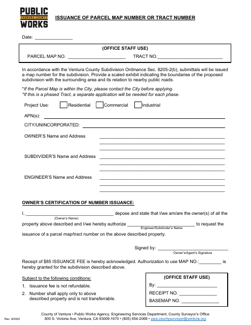
This document is used for obtaining a parcel map number or tract number from the County of Ventura, California.
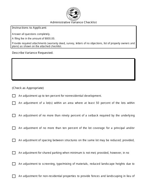
This document is a checklist used by the City of Greenacres, Florida to review administrative variances. It helps ensure that all necessary information and requirements are met for grant or denial of the request.
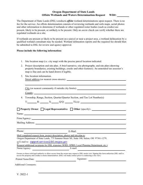
This Form is used for requesting an offsite wetlands and waters determination in the state of Oregon. It helps determine the presence and extent of wetlands and waters on a property that may be regulated under environmental laws.
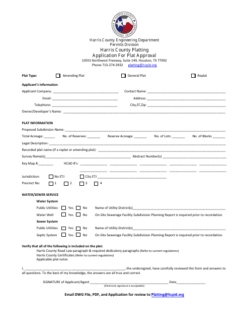
This form is used for applying for plat approval in Harris County, Texas.
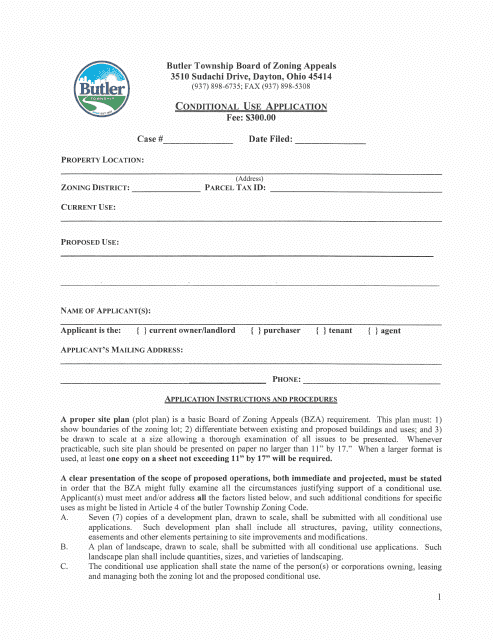
This document is used for submitting a conditional use application in Butler Township, Ohio. It is used when seeking permission to use a property for a specific purpose that is not typically allowed under current zoning regulations.
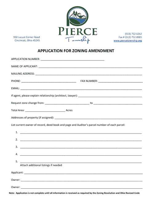
This application is used for requesting a zoning amendment in Pierce Township, Ohio. It allows individuals or organizations to propose changes to the existing zoning regulations and land use designations in the township.
